Koszyk
towar
(pusty)
 Książki dla dzieci
 Powieści • beletrystyka
 Kryminały
 Young Adult
 Fantastyka • Fantastyczno-naukowe
 Książki fachowe • naukowe
 Książki kucharskie
 Komiksy
 Motywacja i rozwój osobisty
 Hobby
Hobby
 Podręczniki
 Ezoteryka • astrologia
 Thrillery • horrory
 Zdrowie i styl życia
 Poezja • dramat
 Rodzina • związki • dzieci
 Biznes • Księgowość
 Wszystkie kategorie

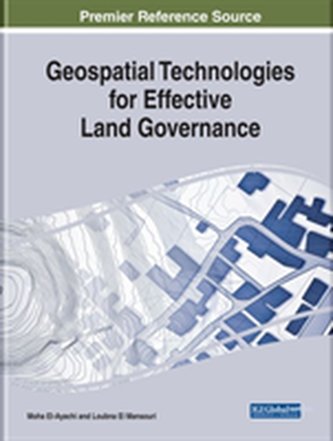
Provides vital research on the application of the use of GNSS, remote sensing, and GIS. While highlighting topics such as crop management, multispectral images, and irrigation, this publication explores land administration, encompassing both cadastral systems and land registration, as well as the methods of land governance strategies.
ukryj opis


Recenzja